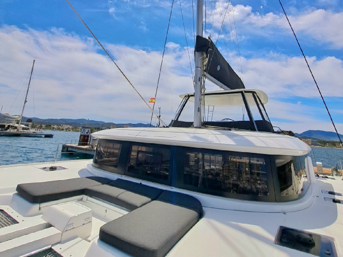
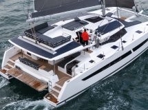
Atlantic Crossing Program: Bahamas - Bermuda - Azores - Gibraltar - Ibiza
Scheduled departure: April 23
Stage 1: Bahamas - Bermuda
Distance: Approximately 750 nautical miles (NM)
Estimated duration: 4-6 days (depending on weather conditions and boat speed)
Description: Departure from Nassau or Freeport, heading northeast towards Bermuda. It is recommended to monitor the weather to avoid cold fronts and storms. Sailing with trade winds and favorable currents.
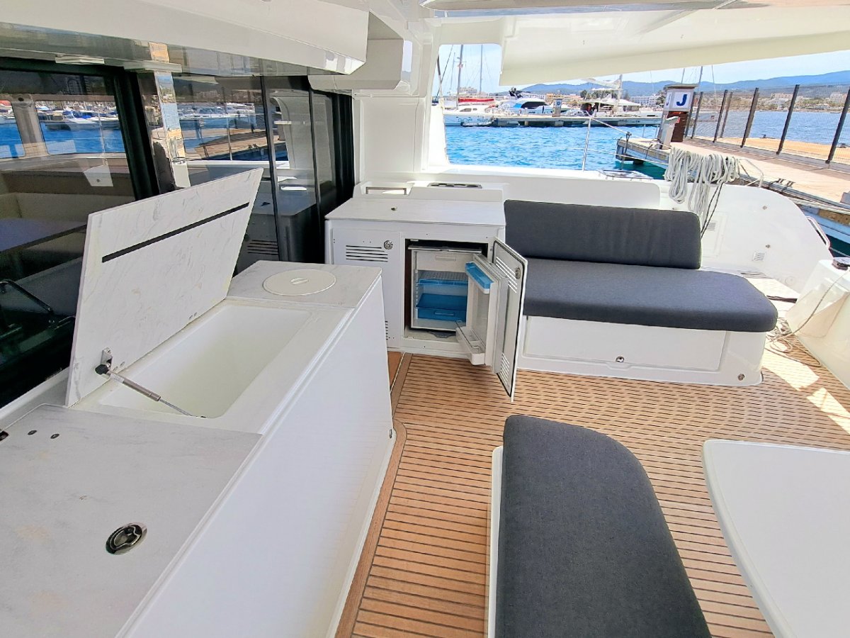
Objective: Rest in Bermuda, perform ship maintenance and resupply. (2 Days)
Stage 2: Bermuda - Azores
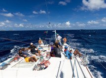
Departure May 2nd. We set off in a fleet with more catamarans.
Distance: Approximately 1,900 NM
Estimated duration: 12-18 days
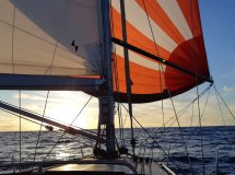
Description: A long and challenging crossing of the North Atlantic. Sailing with the Gulf Stream initially, then encountering westerly winds. It is essential to have sufficient provisions and to monitor atmospheric depressions.
Objective: Arrival in the Azores (Faial, Horta), where sailors can rest, do technical checks and enjoy local hospitality.
Stage 3: Azores - Gibraltar
Departure on May 20th. We leave in a fleet with a fleet of catamarans.
Distance: Approximately 1,000 NM
Estimated duration: 7-10 days
Description: Sailing eastwards in the Atlantic, taking advantage of variable winds and possible northwesterly swells. As you approach the Iberian Peninsula, you may encounter easterly winds in the strait.
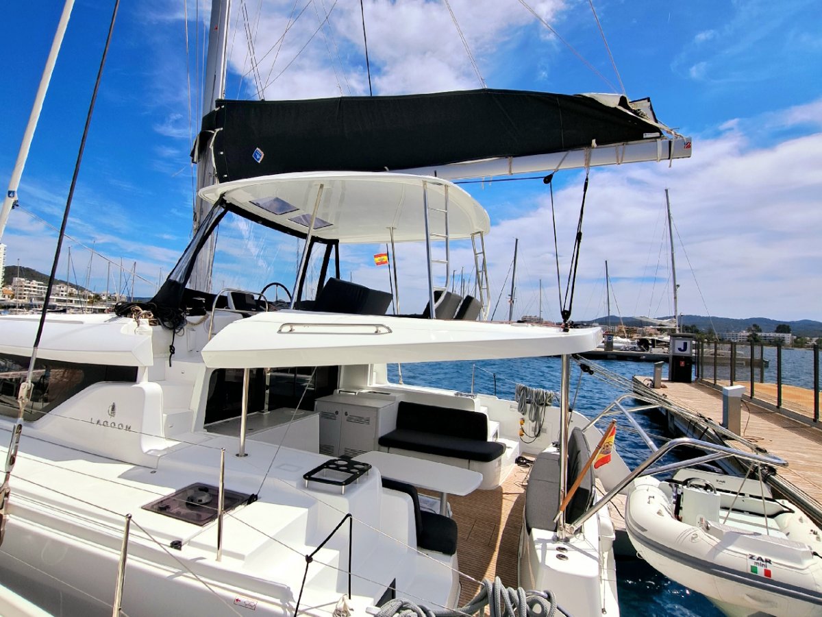
Objective: Arrival in Gibraltar, where a rest, refueling and checking of the ship is recommended before facing the Mediterranean.
Stage 4: Gibraltar - Ibiza
Departure May 30th. We set off in a fleet with more catamarans.
Distance: Approximately 450 NM
Estimated duration: 3-5 days
Description: Final stage of the journey through the Alboran Sea and the western Mediterranean. Attention should be paid to the easterly winds in the strait and possible changes in the weather in the Mediterranean.
Objective: Heading to Ibiza, end of the transatlantic crossing, with opportunity for rest and celebration.
General Considerations:
Planning alternative routes depending on weather conditions.
Constant communication via VHF radio and satellite systems.
Checking provisions, fuel and safety equipment before each stage.
Check the weather forecast before setting sail.
Have a good trip and calm seas!
Read more